Similar WordPress plugins
PicPoints alternatives
The 12 WordPress plugins most like PicPoints, by the tags they share, the most in common first. Installs, ratings and updates come from WordPress.org and refresh every night.

PicPoints
60+ installs · #19,364 most popular
- Compare with PicPoints

Vision
by Avirtum
Empower your site with interactive visuals! Our plugin seamlessly transforms static images into engaging media, enabling publishers and bloggers.
- Installs
- 2K+
- Rank
- #4,541
- Rating
- 4.9(9)
- Updated
- 19 days ago
Sharesfloor planhotspots
- Compare with PicPoints

MapSVG
by RomanCode
AI maps for WordPress. Turn one prompt into interactive SVG maps, image maps, floor plans or Google Maps.
- Installs
- 1K+
- Rank
- #5,136
- Rating
- 4.5(32)
- Updated
- today
- Compare with PicPoints
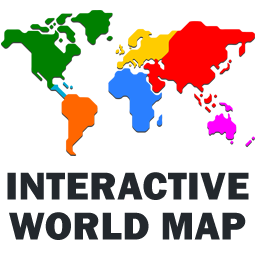
Interactive World Map
by html5maps
Free plugin for WordPress displays an interactive map of the World. The map features customized colors, links and popup balloons.
- Installs
- 900+
- Rank
- #6,970
- Rating
- 3.5(17)
- Updated
- 2 months ago
Sharesinteractive mapsvg map
- Compare with PicPoints

Interactive World, Europe & US Maps
by Toro Guapo
Build interactive world, Europe & US maps with clickable regions, tooltips and pins. Responsive map plugin for WordPress, no coding required.
- Installs
- 20+
- Rank
- #26,430
- Rating
- No ratings
- Updated
- 1 month ago
Sharesinteractive mapsvg map
- Compare with PicPoints

Papatto Clickable Image Map
by netscrander
Create responsive image maps by drawing clickable rectangles, ellipses, and polygons over an image.
- Installs
- 20+
- Rank
- #25,577
- Rating
- No ratings
- Updated
- 2 months ago
- Compare with PicPoints
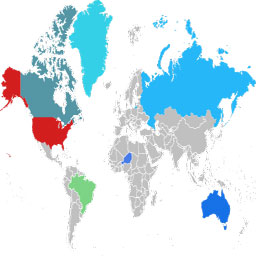
Interactive World Maps Clickable
by IK Robin
Add an interactive world map to your WordPress site! Customize colors, links, hover, and images. Use a simple shortcode to display it anywhere!
- Installs
- 10+
- Rank
- #41,081
- Rating
- No ratings
- Updated
- 1 year ago
Sharesinteractive mapsvg map
- Compare with PicPoints

MaxtDesign US Maps
by MaxtDesign
Fast, accessible, zero-footprint interactive vector maps. Build clickable US state and federal-region maps and drop them anywhere.
- Installs
- Fewer than 10
- Rank
- #61,397
- Rating
- No ratings
- Updated
- 1 month ago
Sharesinteractive mapsvg map
- Compare with PicPoints
MapGeo
by MapGeo
Create interactive vector maps of the world, continents, any country in the world and specific regions, including individual US state county maps.
- Installs
- 30K+
- Rank
- #918
- Rating
- 4.4(65)
- Updated
- 3 months ago
Sharesinteractive map
- Compare with PicPoints

Interactive Image Map Plugin
by NSquared
Create interactive images with clickable hotspots, using modern image maps for WordPress. Perfect for floor plans, infographics, maps, and more.
- Installs
- 20K+
- Rank
- #1,257
- Rating
- 4.9(114)
- Updated
- 1 month ago
Sharesfloor plan
- Compare with PicPoints

Open User Map
by 100plugins
Create custom interactive maps with free Leaflet-based styles, no Google Maps API key, frontend marker submissions, search and filters.
- Installs
- 10K+
- Rank
- #2,138
- Rating
- 5.0(70)
- Updated
- 16 days ago
Sharesinteractive map
- Compare with PicPoints

Shoppable Images (Lookbook) for WooCommerce
by studiowombat
Create interactive 'shoppable' images (lookbooks) with click-to-buy tags. Ideal to showcase your products in a different way and drive more traffic.
- Installs
- 5K+
- Rank
- #2,955
- Rating
- 4.3(12)
- Updated
- 4 months ago
Shareshotspots
- Compare with PicPoints

HTML5 Maps
by html5maps
Nice looking interactive responsive and mobile-friendly HTML5 Maps incl. US, World and more, with an option to customize view and behavior of the maps
- Installs
- 4K+
- Rank
- #3,320
- Rating
- 4.6(45)
- Updated
- 12 days ago
Sharesinteractive map
Watch these rivals every day
Add your plugin and its rivals: rank, installs, downloads and their releases update every night next to yours, with alerts when one of them moves.
Start free